Race Report: 2020 Niwot's Challenge
On May 30, 2020, I set out to complete Niwot’s Challenge for the second time. I had a few goals: complete it with my own navigational skill and course knowledge, guide others through the race as I was guided last year, and finally, start the deity loop. I completed the first two goals excellently, but I failed to start the second loop. In the end, I’m happy and satistfied with the day.
Unfamiliar with Niwot’s Challenge? Check it out. A race story on my previous completion.
This is a detailed report. I might write a short story at some point about community at Niwots.
Niwots was originally scheduled for April, but due to COVID restrictions, it was postponed until after the Stay At Home orders expired in Colorado. This gave everyone extra time to train on the course in good (non-snowy) conditions. Most participants took advantage of the time, and I’d say this group had the most combined course knowledge of any running of Niwots.
Prep
On March 14, I ran Antelope Canyon 100 and DNF’d after 71 miles. Then just two days later, I was quarantined in my house for COVID. The next six weeks, I didn’t train, I got drunk and high most nights, and overall, I was generally slovenly. I was running, even with the occasional tempo run. Five weeks before Niwots, I decided to get off my ass. I went sober for four weeks, trained hard, got out on the Niwots course 4 times, and got myself back in shape. I lost 6 pounds and felt generally strong.
I went out on 95% of the course, only missing the Burn descent and part of the Suffer return (due to navigational error during training). I went out on the Chiefs loop twice, once with Nate Swanburg and Joe Vigil, and once with Brandt Ketterer and John Clarke. My confidence with the course route was very high. I knew all the best lines to 80% of the course.
I prepped enough food, gear, and supplies to run the deity loop (60h cutoff). I told a bunch of people I was going to go for the double. The thought of going for the double caused me a lot of fear, anxiety, and stress.
Night Before & Morning Of
I arrived at the Hotel (race start) at 7ish on Friday. There was already a small circle of people sitting around chatting. I joined and chatted while eating a sandwich, noshing on cheesecake and sipping a beer. Immediately I remembered why I love Niwot’s Challenge. It’s a small community. This alleviated my stress and fear very quickly.
After heading to sleep in my car around 9:30, I got a mildly restful pre-race night, getting probably 4 hours of sleep before waking at 5am. I went to check in first thing and got race bib 3. I thought that meant I could grab my page easily, but many books didn’t have a page 3 so I ended up getting page 103.
At ritual, I drew the Suffer loop first. I was happy with it. Get the hard loop done first. Joe and John both pulled Burn, but traded to go with me.
I got my gear ready, put on pants and a long sleeve, and put my navigation hat on.
Suffer
And then, at 6AM, Sherpa lit his pipe, and we were off onto Suffer.
Suffer is a very difficult 12 miles with 8000 feet of vertical and the worst terrain on the whole course. It’s a slog. The fastest time I’ve ever heard anyone do it in is 6.5 hours. My goal was under 8 hours.
I knew I had to run all night (at least) so I didn’t want to blow up early. After rushing up the first tiny 50 foot hill, I realized I was going too fast and immediately pulled up to wait for Joe. Marvin and Wes Sandoval, the elite runners and mountain bikers from Leadville shot past me at a good pace. John Clarke followed them. When Joe caught me, I started again, this time at a mellower but determined pace. We caught John halfway up fighting with some scrub oak.
It was already getting hot at 7am. It stayed hot all day.
I ended up in front of a line of 10ish people: John, Joe, a bunch of virgins and the race director Sherpa. I started picking the best line up the mountain. I had been up here only twice prior but the line was ingrained in my brain. Our ascent took only 55 minutes, which Sherpa remarked was the fastest he’d ever climbed it.
After a couple minutes waiting for everyone to grab their breath, I started off down to the clubhouse. In order to avoid most of the worst scrub oak, I aimed my line between the eastward sunrise and the peak in the distance, shooting to aim off to the north. We eventually hit the right drainage, a bit north of the course line. We took the easy social trail down to cabin and started bushwhacking down to the clubhouse. Its a slog of a descent, but we got it done. The group separated into two and I ended up with John, Joe, and Donovan. At some point, Marvin and Wes came up from behind. Apparently they had taken a more accurate line to the drainage and gotten slowed by the scrub.
After grabbing the second book, we turned around and headed back up to the cabin. We turned up the hill and dropped down the wall onto the road. Our line was again off to the north, this time by a quarter of a mile. The mistake didn’t cost us much time. We dropped Donovan at some point when he stopped to poop. We hit the cove book about 3 minutes before the second group joined us (Donovan in tow!). It was at this point I first noticed my pants were ripped on my left thigh. I’d have to duct tape them back at camp.
After refilling bottles, we headed out. Dale Hawkins joined us by skipping the water fill to stick with our group. Next up we had climb the worst peak on the course. My nemisis. This is where I lost my pages last year. But in the intervening year, I had gotten stronger and I knew the mountain better. So we started up the drainage. Knowing what lie to the left (a shitton of scrub oak), I stayed in the rightmost drainage all the way to the saddle. We then bushwhacked across to the next ridge to the east, where we found the clearing. From the clearing, we hiked the “road” up the steepest part of the mountain. (It’s not really a road, but we joke about it because its much clearer of scrub oak than anything else on the mountain.) From there we kept pushing to the summit and the final book on Suffer. I was aiming to descend using the same route, but our actual descent line took us closer to the saddle ridge. This ended up being possibly faster, but definitely scratchier. By the time we were down, my pants were ripped from thigh to ankle, so I tucked them into a pocket so I could run.
Off of the peak and back on the road, we were all pretty tired and hiked most of the two easy miles to the next turn. We hiked up the correct ridge, past the mills, down into the verdant valley, and up onto the summit ridge. I was unfamiliar with this area so I let Marvin and Dale navigate. We hit the right ridge and got the book 1 location in good time at 6:25 into the race.
The descent back to camp is notoriously difficult. Everyone fucks it up. My goal was do it in less than an hour (remember it only took 55 minutes to climb!) We started down. I talked to myself and tried to pick the reverse line from our ascent by memory of landmarks. I nailed the first third of the descent perfectly! We said hi to a couple groups coming up the mountain having finished the Burn loop. Around the halfway mark I stopped recognizing where we were. I noticed I was aiming the wrong direction. To descend correctly, you must keep the road below (south) as your direction for two thirds before turning toward the Burn loop high point (southwest). But we were facing southwest too early. I quickly diagnosed we were too far west and started traversing back eastward. We quickly corrected the mistake and got back on the familiar line. From there the navigation got easier and we got down to camp at 7:15 into the race.
7:15 is a really good time for Suffer, especially without rushing too much. Really proud of the lines I picked for this loop. I think only two other groups completed Suffer in less than 8 hours.
Burn
Burn is the easiest loop on the course. About 11 miles and 3000 feet of vertical. Much of it is either on trail or in runnable washes.
We took 23 minutes in camp. I treated my feet with moleskin and BlisterShield, relubed my junk, ate some burrito, drank some ginger ale and muscle milk, and filled my bottles. My pants were done for, so I changed into some shorts. Our core group was still Marvin, Wes, John, Joe, Dale, and me.
We took off for the trail up to the peak. Dale was lagging behind at this point. At the top of the first climb on the trail, I waited for him to catch up while the others pushed on. I was hoping he’d run with me to catch up to the group, but he decided to take it easy. I couldn’t ask the others to slow down too much. When I caught the group, Dale was far behind. With some regret, we decided to drop him.
We cut to the road early and found the best line to the high point easily. While the rest of the course was overgrown, this part was clear of any debris and made visibility good. After grabbing the book and a snack, we took the best line back to the saddle and down into the drainage. I’d been in this drainage many times before and knew the best line high up on the left side. We easily found book two at the bottom.
As we started off for book three, Dale showed up! He had caught us by running hard down the drainage. We stopped for a rest and a water fill at the creek crossing. Everyone got full and we headed up. Our line took us up the center ridge of the dual drainages. We dropped into the drainage once it became an open wash. A little further up, we hiked back up the ridge to the old mining road. Once the old mining road petered out and the drainage split, we switched to the left side of the drainage and kept pushing. Eventually the end of the drainage was in sight and we hiked up the left ridge. Once we peaked, book three was easily seen a couple ridges over.
After grabbing the book, we descended down into the drainage system to the east. It’s easy hiking down until an old mining road joins the route before turning into an open runnable wash. We cruised back to the creek. Marvin then took the lead and led us through the criss-crossing trail down to the final book. The overgrown pussywillows made some of the trail a tight squeeze, but it wasn’t too bad. We hit the final book at 4 hours in.
We started the hike up the drainage. We got up to the old mining road and then up to the trail. We took the old 4x4 down to Hotel. This part was pretty fun and runnable (except for where its completely washed out lol). When we got to the river crossing, the water was rushing a lot! Marvin, Wes, and Dale had already crossed when John, Joe, and I got there. We started in. The river was balls deep and rushing so much that every step was perilous. At one point I got whipped around and almost lost my balance. But I made it to the other side. John wasn’t so lucky. He misstepped and fell face first toward the rapids. He regained his balance mere feet from a small falls. Marvin and Wes made a train and pulled him to safety before helping Joe. This was one of my favorite memories from the run. It was cool to see the teamwork needed out there.
We got back to camp having spent 4:30 on Burn. Thats a quality time. It was 12:15 into the race, which left us 17:45 to complete the final loop. There was only one person in front of us, Brandt, and he’d left only 10 minutes prior to our arrival into camp.
Chiefs
The Chief’s loop is the masterpiece of Niwots. It’s a 26-mile, 8000 feet vert work of art. To complete it successfully, you must navigate ridgelines, gullys, drainages, disappearing social trails, steep fisherman’s trails, knife-edge scrambling and power line traverses. All at night.
We ended up taking a while in camp, almost 45 minutes. I treated my feet again, ate a burger, drank a coke and muscle milk, and packed a ton of calories and caffeine into my pack. I looked for my backup pants and realized I left them at home! I ended up putting on my camping pants (which were cotton) as a last resort. I decided to wear a wool base layer out on the night loop. This was probably a mistake. It wasn’t cold enough for that.
While we were heading out, Dale was still at his car. We told him to catch up. After walking the whole road to the turnoff and waiting a few more minutes, he was still not in sight, so we decided to continue on without him. Our group was me, John, Joe, Marvin, and Wes. I was the leader and primary navigator. Marvin and John both had a bunch of course knowledge as well.
We took the social trail up the gulch to the open clearing where we turned up onto the ridge for the first climb. It was steep and quickly revealed that Marvin and Wes were stronger than the rest of us. They waited at the top and we traversed the ridge on the easy trail over to the summit and the first book. We took out our headlamps as the light was fading and girded our loins for the night. Up til now, our navigation was extremely efficient. I was not expecting the same at night.
We dropped down on the moto trail. I was acutely aware that we needed to hop off onto the old road grade very quickly. I actually hopped off too early but realized it quickly and kept going. Because we were so alert, we found the road when it popped up. We dropped off the road and kept the contour below the archery range. When the forest got thick, we cut down to the clearing and turned onto the unmarked road down there. When I felt we were at the correct hill, we turned up to try and hit the road. Unfortunately, I picked one ridge too far west. After hiking up 500 feet, I knew I had made a mistake. But I knew the road kept going west, so we’d hit it eventually. Eventually we did, and we hopped onto the good road down to the base of the next mountain. Once there, we took the social trail to the top and easily found the second book.
After I made sure no one wanted to quit (this is the last point its easy to quit from), I led us down off the mountain into the thick woods. Brandt had shown me his line for this descent just two weeks ago. I tried my best to follow the same line in the dark. Somehow (I’m still flabergasted by this), I followed his line almost perfectly. When I came up on the trash pile that he uses to landmark his route, I was frankly, astonished. We dropped out onto the trail and Marvin led us in running to the next creek crossing. After filling bottles at the creek, Marvin led us up the power lines to the next book. Its a tough climb, but we got it done.
I led us through the next two power line valley traversals. My lines weren’t perfect. We aimed too far off the final ascent and found ourselves far from the power line tower on the same ridge. We used it as a handrail and got back to the tower. Once at the correct tower, we headed off down the ridge to the next book. We followed the small social trail as best we could, making sure never to accidentally drop off the ridge. We found the book at the end of the ridge. It was hard to find because it was covered in new vegetation, but I stumbled right on it using intuition.
My night navigation was going well, but I was still a bit nervous, as we had one more book with difficult navigation to get through. We headed down the ridge at a tepid pace. I really didn’t want to miss the turn when the ridge split. The vegetation made everything look different, and I was unfamiliar with the area. After what felt like forever, we finally found the old mining road that dropped onto the correct ridge. It was so overgrown, it could have easily been missed, but I was carefully searching for it. We ran and hiked down the road until it ended. We found the small overgrown social trial that took us to the end of the correct ridge. We dropped down into the creek and got a quick bottle refill. We then took the correct turn into the correct gully. Brandt and I had scouted this two weeks ago, and I followed what we did then. (Surprisingly, this is where Brandt fucked up and wondered around for 1.5 hours.) The drainage was wet from rain, overgrown, and generally difficult to move through. It was actually kinda fun. We rock climbed up moss covered rocks and through soaking wet vegetation. We took the left fork correctly. I kept an eye out for the non-obvious left fork coming up, and found it successfully. We then stuck the drainage and took the second drainage on the left. I thought I had found the mythical drainage that led right to the book, but I was mistaken. Its the THIRD drainage on the left after taking two lefts. We searched for a few minutes on the point of the ridge and Marvin found the dead tree with the book. The entire ridge was completely unfamiliar due to the vegetation. And our visibility at night was very hindered as well because it got in the way of the headlamp.
We had gotten to 13 books in a little over 18 hours with very good navigation. We hadn’t made any big mistakes. All that was about to change.
We dropped off from the dead tree trying to find the correct ridge. I didn’t take a bearing, I just picked a line. I ended up being a couple ridges down from the correct one. Luckily, the trail follows this hill. So we ended up descending down onto the trail below our turn instead of above it. We recognized it and handled the mistake. It only cost us 10-15 minutes. We got to the turn onto scrub oak hill and hike up onto it. Our hike across was fine. We kept just off the summit on the right to try and avoid the worst of the old growth scrub oak. When we had summited the second point on the hill, we could see the outline of the next mountain in the moonlight. We were aiming for that mountain, but trying to avoid the steep stuff to the right. I led our descent down the left side of the face we were on. We hit the creek below. I was unfamiliar with the exact area we were in, but everything was so dark and visibility so low, I thought we were fine.
Scrub oak hill has a wide west face. In order to traverse the course, all you have to do is descend somewhere on the west face and ascend from the creek at the bottom up onto a maintained trail. Somehow, I had descended on the southern ridge, almost a mile off the course! When we ascended the other side, the trail was nowhere to be found. After about 400 feet of climbing, we knew something was wrong. This was a big mistake. I was kinda freaking out and talking to myself. I calmed down and tried to figure out what went wrong. I pulled out my map for the first time all day and realized where I’d made a mistake. We decided to traverse back to the trail from where we were. After travelling for 10 minutes and not finding the trail, I then realized that my mistake was bigger than I’d thought. I suggested we descend back to the creek and travel downstream to correct the mistake. As we were descending, we found the maintained trail switchbacking over 0.75 miles from our target. As we ran back to the course, I calmed down my nerves and decided to start taking more compass bearings. We ended up losing about 30 minutes and got in some bonus miles.
Our climb up to the next book was relatively uneventful. Marvin led us up the ridge because the drainage was so overgrown and wet, it made going up kinda dangerous. Once we hit the ridge, we found the book without too much pain. Coming off the ridge, we were supposed to find a social trail. The overgrowth completely covered the trail and we got lost. I was leading but not finding anything I recognized. Marvin called me out, saying he didn’t think it was the right way. He and I worked together (as best as we could at 3 in the morning, sleep deprived and tired). We retraced our steps 4 times trying to find the right line. Eventually we decided to just follow compass bearings. The trail was completely covered! After following compass bearings halfway down the mountain, the trail finally became obvious and we took it to its end at the maintained trail.
We ran down to the next creek without issue. I had a brief scare with the fisherman’s trail following the creek, but it was fixed soon enough. At this point, I was so fried from my past two mistakes, even the smallest blip in navigation was stressing me. We refilled bottles and reservoirs at the creek, as this was the last guaranteed running water. As we hiked out to the point, first light was coming from Denver and reflecting across the water. We grabbed the book at the point and started our climb up the wall.
The wall was steep, as per usual. But the ever changing light of sunrise to the east made it magical to behold. It took us about 45 minutes to complete the ascent up the 1600 foot wall. Marvin led us over the false summit and onto the book. We put away our headlamps, happy to have the light of day back.
We carefully descended back to the maintained trail and ran down past the creek and waterfall to the correct drainage turn. Marvin and I co-led this drainage climb as I wasn’t very familiar with the best line. We ended up being a little far left and high. Marvin thought we were already up on the ridge. I was too tired to point out his error. Luckily, John wasn’t and told us we were still below the ridge. We corrected and got back to hiking up. Then, I recognized the area, seeing the clearing we were supposed to be in below us. I noted that our target saddle was at our 2 o’clock. We hiked up to it without much trouble. We hit the book around 7 am, 25 hours into the race.
It was starting to get hot again, so I took off my heavy cotton pants and tied them around my waist. I should have just worn shorts all night anyway.
We easily navigated up the ridge, across the power lines, onto the jeep track, onto the maintained road, over the ridges to the final high point and final book on the course at 8:30am. At this point, all the navigational challenges are done and theres only 5ish miles of downhill maintained trail left. With 3.5 hours to spare, we knew we were going to finish. Marvin and Wes were excited but tired. Wes had a blister on his heel the size of a quarter that popped and felt better. John was tired and wanted to drop back from the group. I kept pushing him to keep running. Joe was heat exhausted, tired, sleep deprived, and had a blister on his entire foot; but he found the pain cave and ran down that fucking trail. I felt generally fine. My feet were swollen and I had to loosen my shoelace, but otherwise, it was normal end of ultra stuff. We jogged down the trail and got to the bottom. John ran most of it with us, but dropped near the end. Four of us ran into camp together at 9:15, 27:15 into the race. John came in 10 minutes later.
Thoughts
Other than our group of five, only 4 time finisher and deity starter Brandt Ketterer finished. I’m proud I got this done on what ended up being a hot and overgrown course.
Navigation
My navigation was very accurate most of the day. When I got tired in the dark, I made mistakes, probably about an hours worth. If I hadn’t been with a group, I probably would have made another hours worth of mistakes elsewhere. Overall, very good but could be better.
Group
I loved leading a group through this course. It was truly fulfilling to share the miles and give back to the race community. They corrected my mistakes when I made them, and I led them through much of the course on very good lines.
Marvin and Wes Sandoval are incredible athletes. It was a pleasure to run with them. They could do this course in under 24 hours if they came back.
John Clarke and I stuck it out for a second year in a row together.
Joe ran his longest race by time, distance, and vert on this day. His chief name is Chief Big Bite because he took a big step up. What an incredible performance.
Deity
We saw Brandt heading up for the deity loop. He asked me if I was going out, and I said no. I thought he looked disappointed. He probably wanted company. I felt a bit bad, but I wasn’t prepared for it. I think, physically, I was fine to continue. Definitely in pain from my feet and my muscles were tired. But, no showstoppers were blocking me from continuing.
I was a guide during my whole 27+ hours out on the course. I wasn’t in the headspace to go out for a personal achievement like the deity loop. I was satisfied having completed it twice (not many people have done this) and ready to relax.
Additionally, I was scared of how my body would react out there. I don’t have as much experience as Brandt. I’ve only ran overnight successfully 3 times (two 100’s and one Niwots) before this. So going into a second day and night frankly scared the shit out of me.
Now, 24 hours later, I’m somewhat regretful for not going out for a second Chiefs loop. I didn’t have enough time to truly challenge the deity loop anyway, but I could have tried.
So my feelings are mixed. I’m satisfied with my run. I’m very happy I was able to guide others. But I could have done more… so should I have? That is a big question in my life. How can I be satisfied not doing every challenge in front of me? Can I say “no” and not regret it?
I think for me to go out for deity, 3 things would have to happen: 1) I need to go to at least 48 hours of continuous running in a controlled environment (such as a fixed time race on a small loop) to learn how I react to those conditions. Maybe a last man standing event. 2) I can’t be a guide. It has to be a fully deity attempt from beginning to end. 3) I need a partner who is equally motivated.
Emotions
Overall, this completion was not nearly as emotional as the first time. Last year, I was stressed and nervous and quitting and unquitting and running as hard as I could. The finish was magical and I’ll never forget it. This year, I was confident and positive 95% of the time. When I finished, I was satisfied by having lead four people to the finish line. But that satisfaction doesn’t stack up next to the elation of last year. But that’s ok. Perhaps that’s why I talked up deity so much… trying to get myself to have an epic experience that would equate to finishing Niwots last year. I’m learning that not every run needs to be epic to be fun and satisfying.
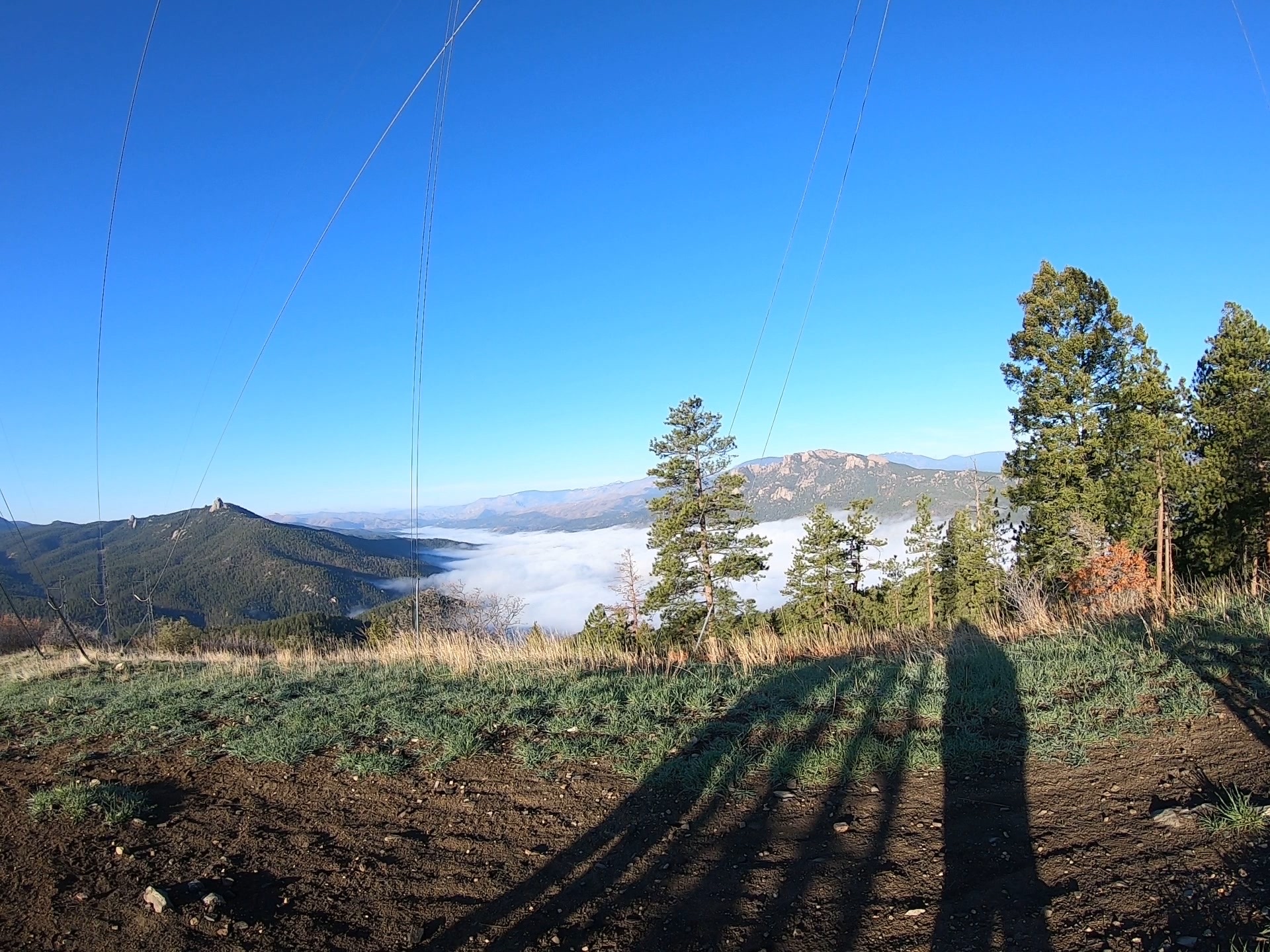
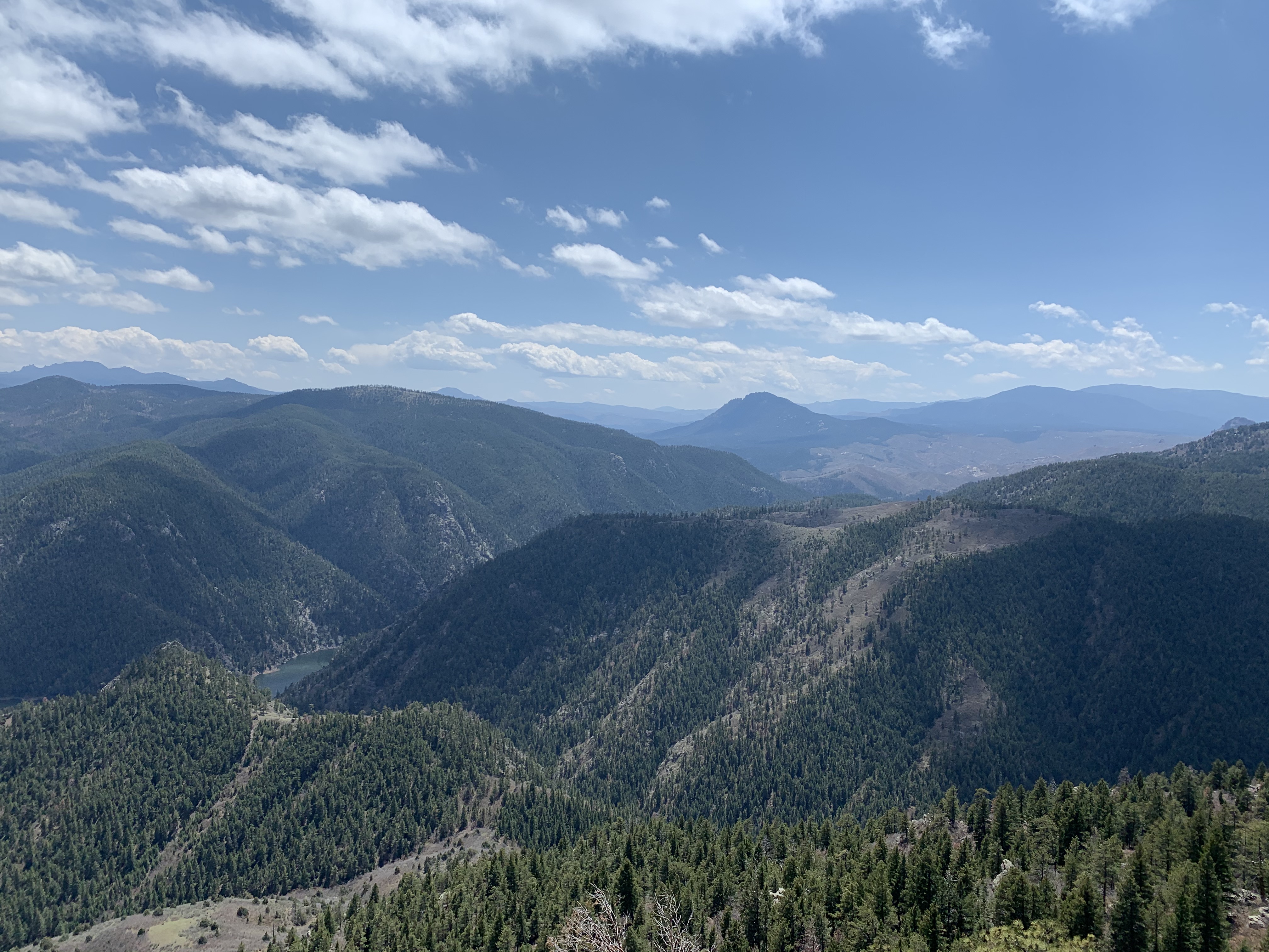
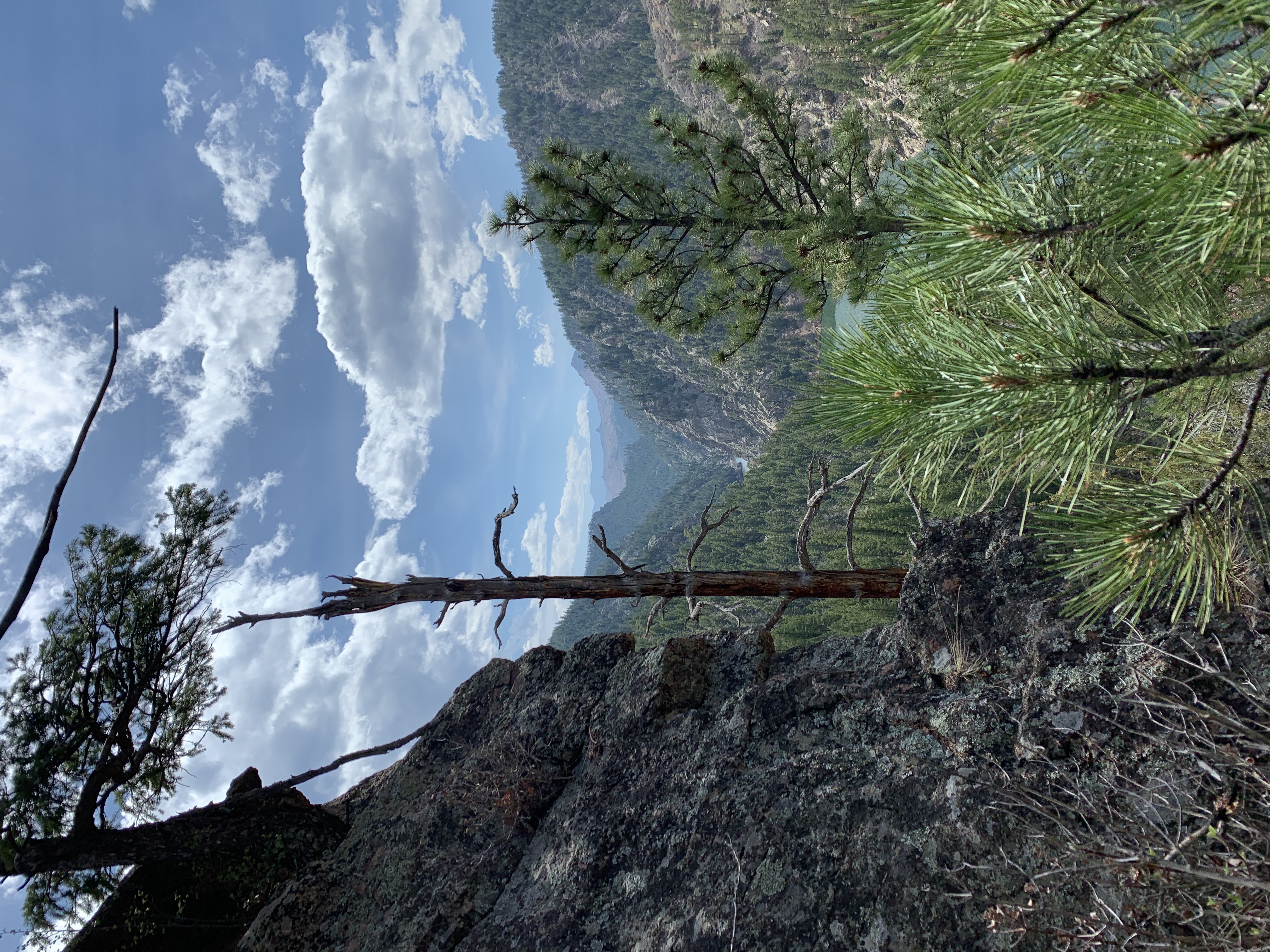
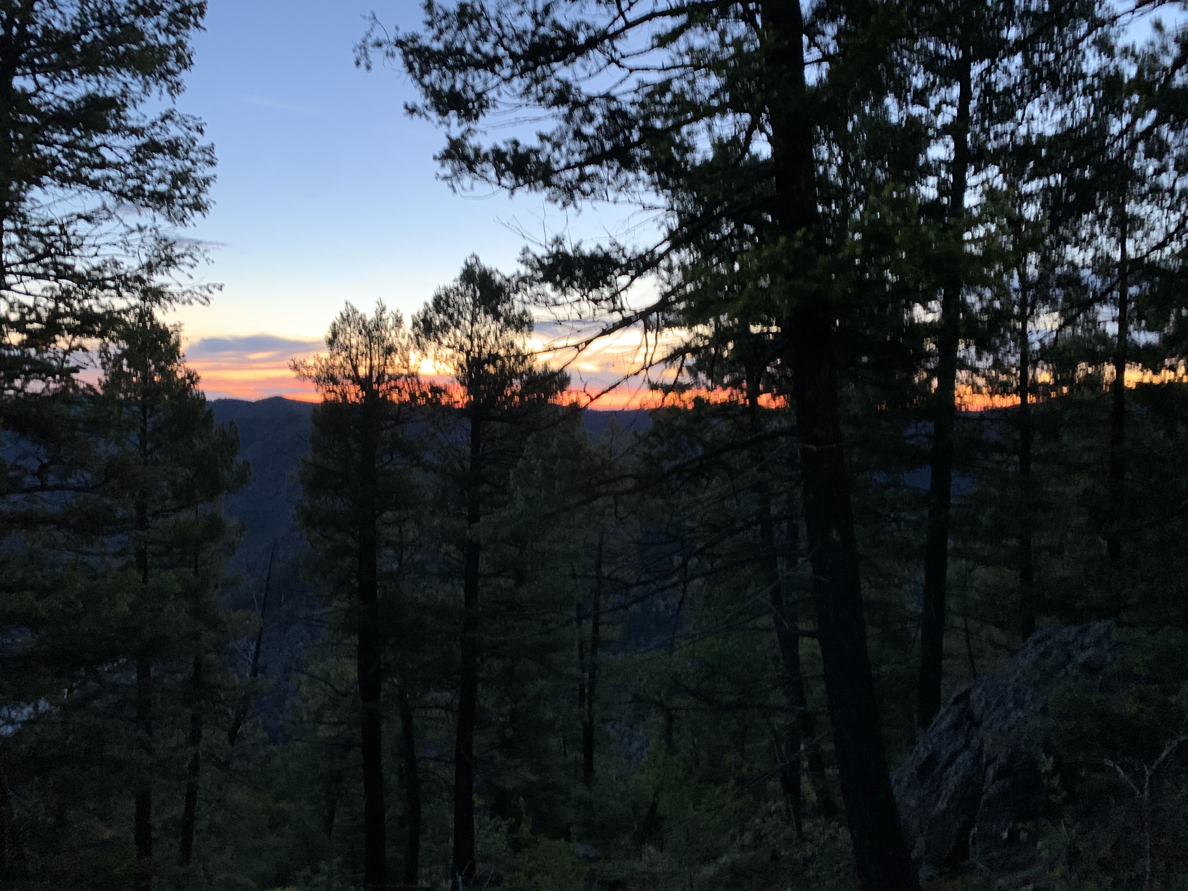
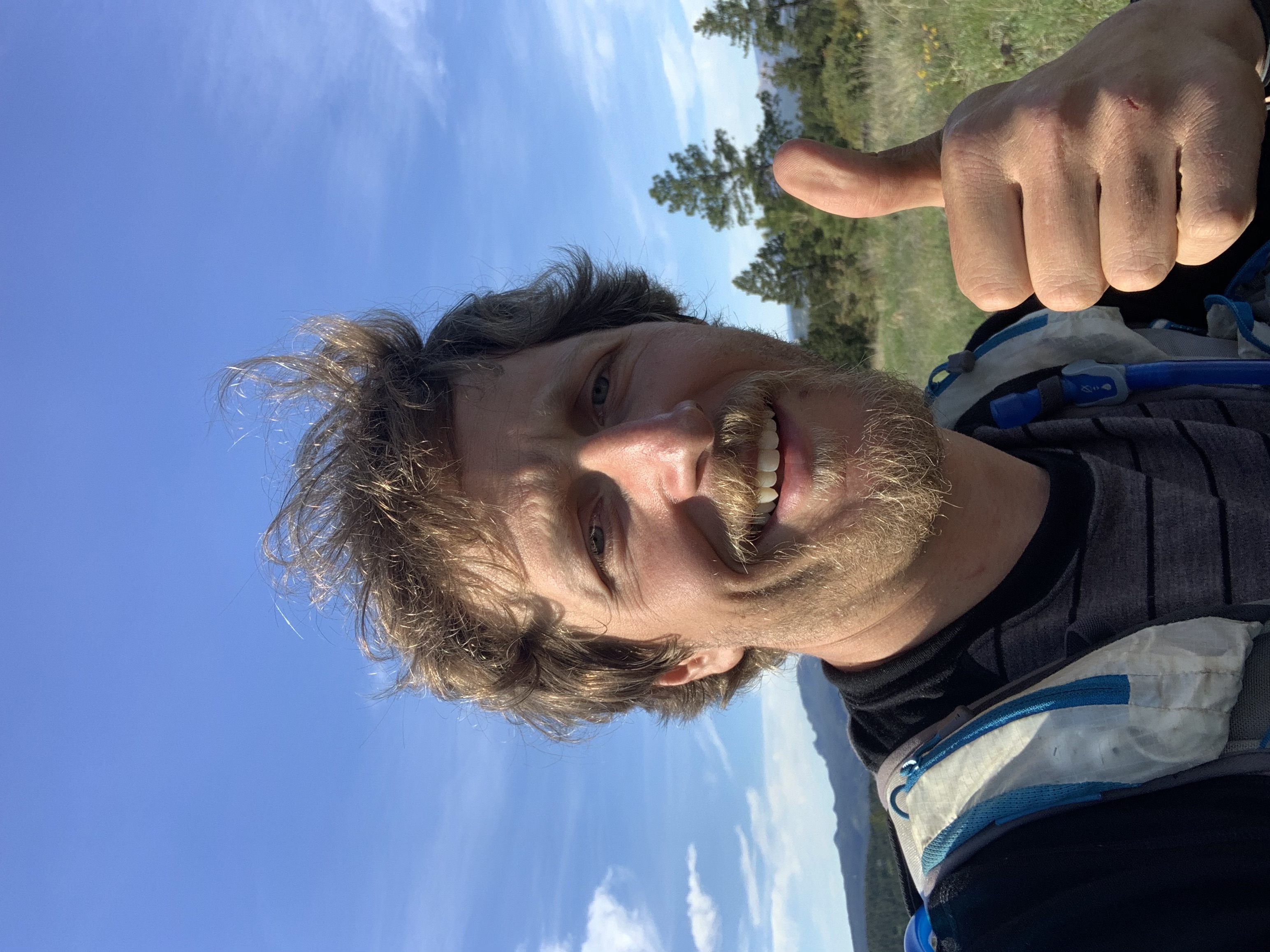
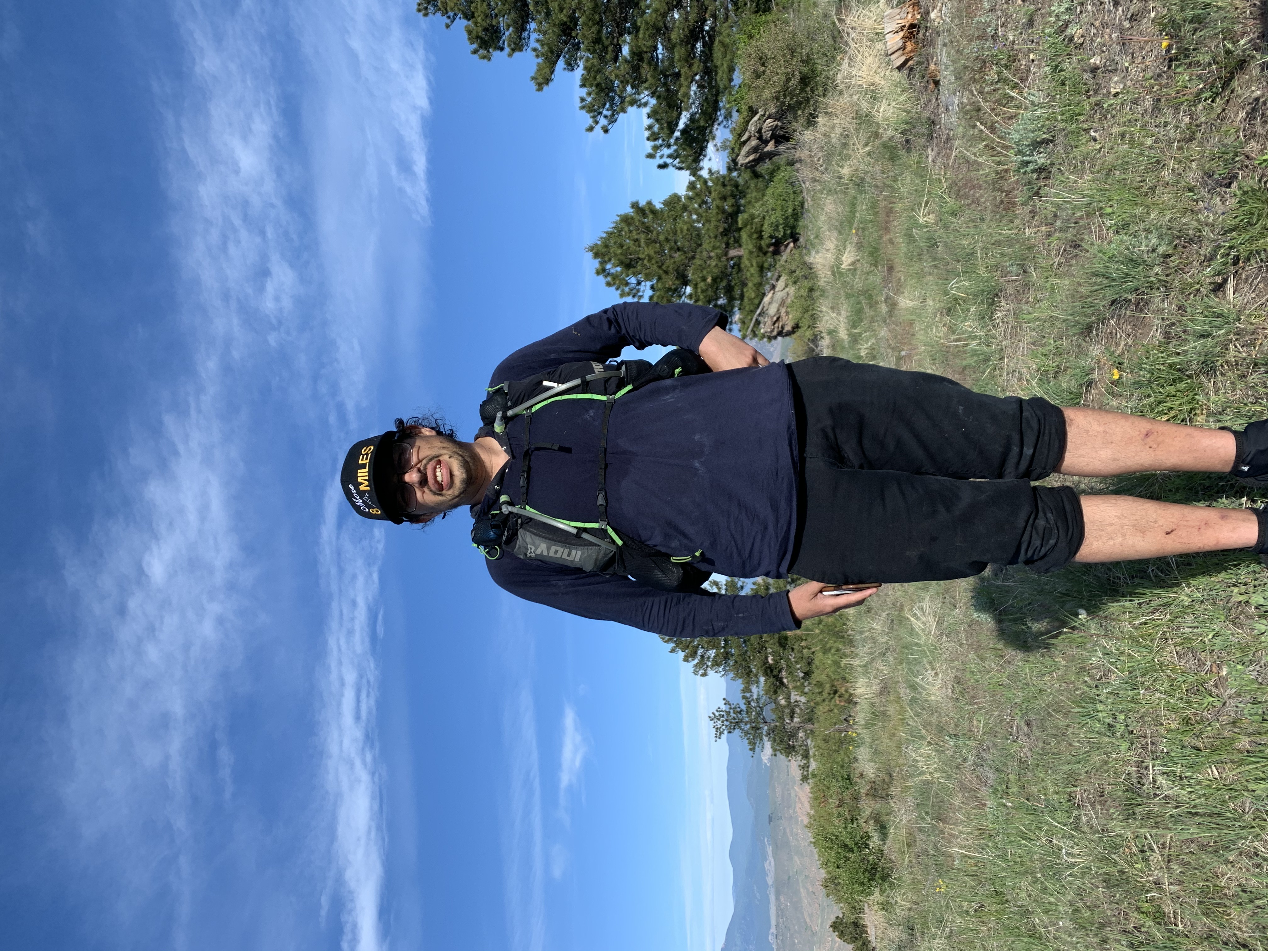
I’ll leave you with some pics I took while training on the course.